
Drone Real Estate Photography Services
Haglund Helos enhances Wisconsin real estate with drone real estate photography. Our DJI Matrice captures stunning aerials and thermal insights for commercial properties, helping you sell faster. Make your listings stand out!
REAL ESTATE
Why Drones for Real Estate?
Real estate agents and developers need compelling visuals and data. Our aerial property surveys deliver:
Faster Sales: Aerial imagery boosts sales speed by 20%.
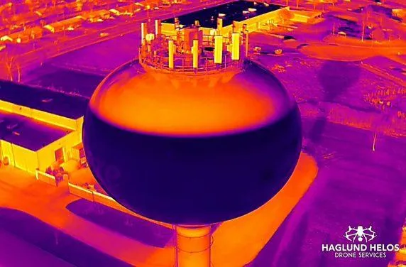
Energy Savings: Thermal inspections identify leaks, reducing costs.
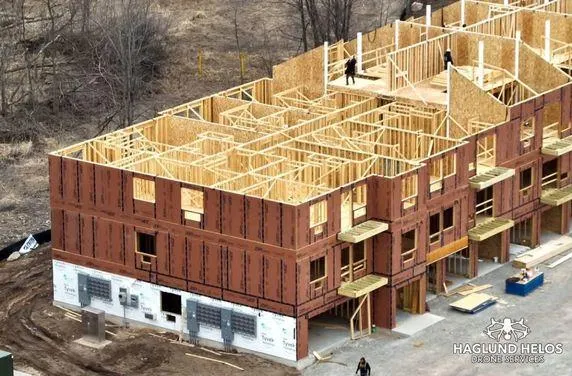
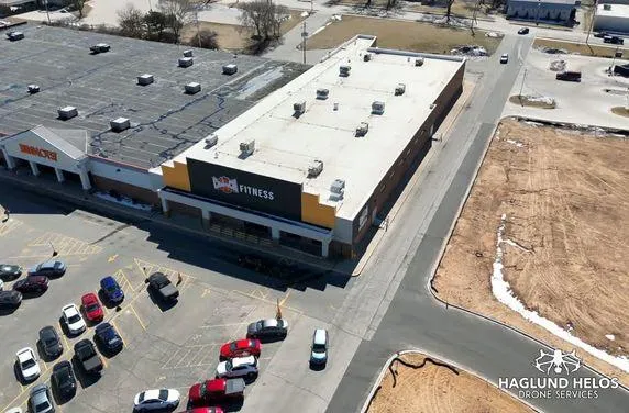
Accurate Surveys: 3D models support development planning.
Our Real Estate Services
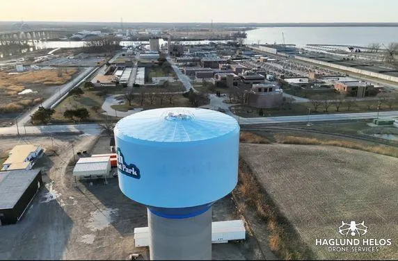
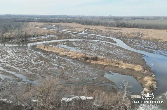
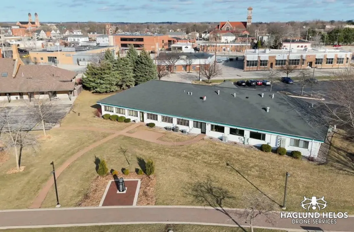
Aerial Photography/Videography: Capture stunning visuals with 48MP cameras.
Virtual Tours: Create immersive tours with 200x zoom details.
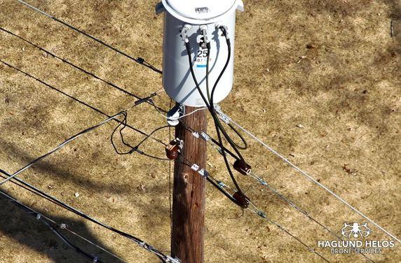
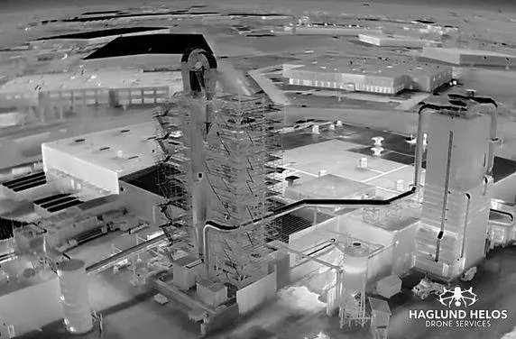
Thermal Inspections: Detect energy leaks with 640x512 thermal imaging.
Deliverables: Edited photos/videos, 3D models, energy reports.
Explore our construction inspection services for related site mapping.

Why Haglund Helos?
High-Quality Visuals: The Matrice delivers professional-grade imagery.
Experienced Pilots: Our team ensures flawless, compliant shoots.
Versatile Solutions: From listings to inspections, we’ve got you covered.
Schedule a Call Today!
Attract buyers with drone real estate photography. Contact Haglund Helos for a free consultation or sample shoot to elevate your listings.
Who is This Perfect For?
Electric Utility Companies
Renewable Energy Companies
Utility Inspection Contractors
Energy Consulting Firms
Municipal and State Energy Departments
Industrial applications
COMPANY
CUSTOMER CARE
LEGAL
FOLLOW US
FAA Compliance: Haglund Helos LLC is insured and licensed in compliance with all Federal Aviation Association regulations and procedures pertaining to small unmanned aircraft systems (UAS) outlined in 14 CFR Part 107.
Copyright 2026. Haglund Helos. All Rights Reserved.
Copyrights 2025 | HAGLUND HELOS™ | Terms & Conditions